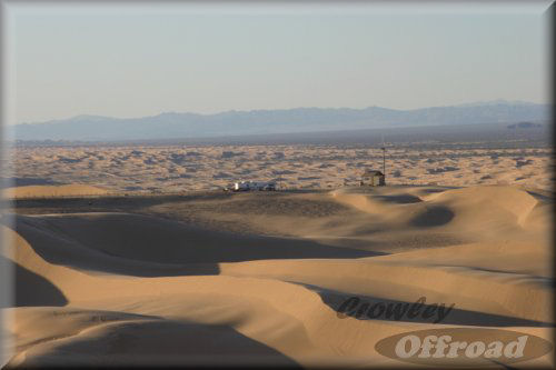
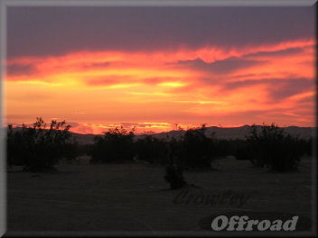
Burning Sands 2007
the Imperial Sand Dunes
vicinity Glamis, CA
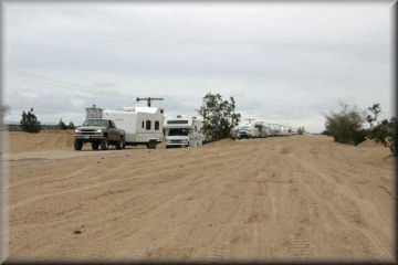
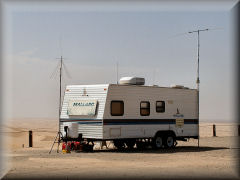
This will be a dry run to test antennas, power supplies, and sustainability in temperatures as high as 115 degrees.
~~~~~~~~~~~~~~~~~~~~~~~~~~~~~~~~~~~~~~~~~~~~~~~~~~~~~~~~~~~~~~~~~~~~~~~~~~~~~~~~~~~~~~~~
Just published 7/22/07 - see the Burning Sands field test!
click here ---->
~~~~~~~~~~~~~~~~~~~~~~~~~~~~~~~~~~~~~~~~~~~~~~~~~~~~~~~~~~~~~~~~~~~~~~~~~~~~~~~~~~~~~~~~~
the Dunes
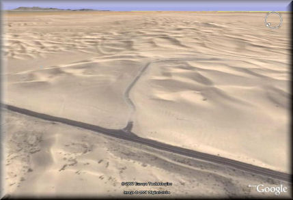
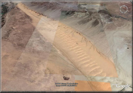
The Imperial Sand
Dunes are the largest sand dunes open to off-highway vehicle use in the United
States. The dunes begin 10 miles southeast of Niland and stretch all the way
into Mexico, over 40 miles away. The Dunes vary in width from about a quarter
mile at the top end of the Mammoth Wash area, to about 5 miles in width below
Highway 78. The Algodones Sand Dune system covers 1,000 square miles, making it
one of the largest dune complexes in North America. There is over 150,000 acres
designated as open or having limited use and about 32,000 acres are designated
Wilderness (North Algodones Dunes Wilderness Area) and closed to OHVs (mostly
north of Hwy. 78). Although visited year round, during the summer months you
need to be prepared for temperatures consistently exceeding 100° and reaching
120° on occasion. However, like most of the California desert, the humidity is
low and the nights cool down considerably. Since the annual rain fall is less
than 2", the only winter hazard is blowing sand. Winter temperatures are
typically in the 60-70° range.
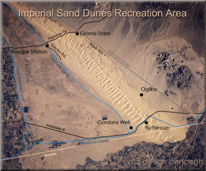
Glamis is considered the northern part of the OHV area at the Imperial Sand
Dunes. The south part, near Interstate-8 includes Gordon's Well, Buttercup and
Ogilby.
Busiest weekends are (people): Thanksgiving (160,000), New Years, President's, Halloween,
Martin Luther King and Easter (35,000) - 2004 numbers.
Elevation - 200 - 500 ft
text reprinted from the ISDRA website click here for more info
or
on to Burning Man...